In this publication1 photo
(Continued)
Useful links
• German tide tables: https://gezeiten.bsh.de
• Konstantin’s view of the trip: @whitehareyacht
Statistics
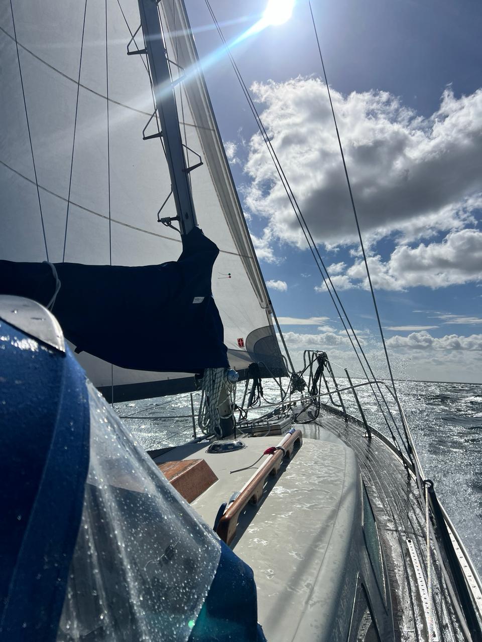
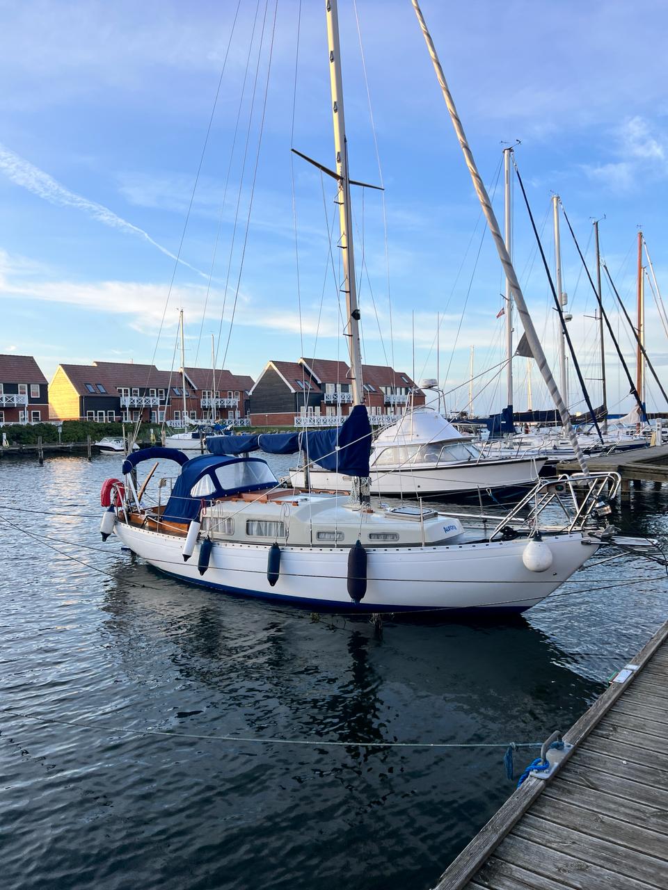
Route: Kiel → Rendsburg → Glückstadt → Cuxhaven → Heligoland → Wangerooge → Norderney → Lauwersoog → Groningen → Borkum → Spiekeroog → Cuxhaven → Gieselau Lock → Kiel
Dates: 1–16 August 2025
Distance: 526 nautical miles
Duration: sixteen days
Wind: Beaufort force 1–7
Waves: 0.5–2.5 metres
Passages: seven to fourteen hours
Average speed: 5.2 knots
Maximum speed over ground: ten knots, with the stream
Locks transited: 7
Bridges opened: 30
Islands visited: 5
Fuel used: about eighty litres
Marinas, fuel and water: about €500
The story: Part 1, Part 2, Part 3, Part 4, Part 5, Part 6, Part 7, Part 8, Part 9, Part 10, Part 11, Part 12, Part 13
📍 Interactive map of the route, if you’d like to follow in my wake
#passage
Original and discussionOpen post in Telegram ↗